Utilizing NASA Earth Observations to Enhance Drought Monitoring in Illinois
NASA DEVELOP - NCEI 2021 - Illinois Disaster
Participants:
Joshua Green (Project Lead)
Julia Marturano
Emma Myrick
Kyle Pecsok
Victor Schultz
Affiliation:
NOAA National Centers for Environmental Information, North Carolina Institute for Climate Studies
Fellow/Center Lead:
Katie Lange (NASA DEVELOP National Program)
Advisors:
Dr. Ronald Leeper (NOAA National Centers for Environmental Information, North Carolina Institute for Climate Studies)
Dr. Bjorn Brooks (NOAA National Centers for Environmental Information, North Carolina Institute for Climate Studies)
Dr. Robert Griffin (University of Alabama Huntsville)
Dr. Jeffery Luvall (NASA Marshall Space Flight Center)
Dr. Chris Hain (NASA Short-term Prediction Research and Transition Center)
Dr. Chris Schultz (NASA Short-term Prediction Research and Transition Center)
Jonathan Case (NASA Short-term Prediction Research and Transition Center)
Partners:
Illinois State Water Survey
USDA Midwest Climate Hub
NOAA, Regional Climate Services, Central Region
NOAA, National Integrated Drought Information System, Midwest Drought Early Warning System
NOAA, North Central River Forecast Center
Team Members:
Joshua Green (Project Lead)
Julia Marturano
Emma Myrick
Kyle Pecsok
Victor Schultz
Fellow/Center Lead:
Katie Lange (NASA DEVELOP National Program)
Affiliation:
NOAA National Centers for Environmental Information, North Carolina Institute for Climate Studies
Advisors:
Dr. Ronald Leeper (NOAA National Centers for Environmental Information, North Carolina Institute for Climate Studies)
Dr. Bjorn Brooks (NOAA National Centers for Environmental Information, North Carolina Institute for Climate Studies)
Dr. Robert Griffin (University of Alabama Huntsville)
Dr. Jeffery Luvall (NASA Marshall Space Flight Center)
Dr. Chris Hain (NASA Short-term Prediction Research and Transition Center)
Dr. Chris Schultz (NASA Short-term Prediction Research and Transition Center)
Jonathan Case (NASA Short-term Prediction Research and Transition Center)
Partners:
Illinois State Water Survey
USDA Midwest Climate Hub
NOAA, Regional Climate Services, Central Region
NOAA, National Integrated Drought Information System, Midwest Drought Early Warning System
NOAA, North Central River Forecast Center
Abstract:
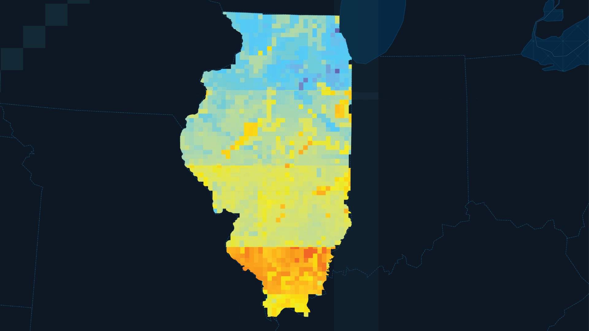
Drought and flooding in Illinois have severe impacts on the communities and ecosystems of the state. Soil moisture is a valuable indicator of drought and flood vulnerability but can be difficult to measure since in situ monitoring is limited to discrete stations throughout the state. The team created a framework to compare in situ, modeled, and NASA satellite soil moisture measurements to increase the spatial coverage of soil moisture monitoring. The team partnered with the Illinois State Weather Survey, USDA Midwest Climate Hub, NOAA Regional Climate Services of the Central Region, NOAA National Integrated Drought Information System’s Midwest Drought Early Warning System, and the NOAA North Central River Forecast Center. The team standardized and compared soil moisture data from NASA’s Soil Moisture Active Passive (SMAP) mission, modeled soil moisture outputs from NASA’s SPoRT Land Information System (SPoRT-LIS), and in situ measurements from the Illinois State Weather Survey’s Water and Atmospheric Resources Monitoring (WARM) program. Compared to the WARM data, the satellite and modeled data showed seasonally variable differences and bias. The difference was highest in the winter months and lowest in the late summer and early fall months for the SMAP and SPoRT-LIS data products. SPoRT-LIS produced lower seasonal variability and SMAP demonstrated higher correlation values and lower differences. These analyses suggest that both SMAP and SPoRT-LIS products offer unique strengths and limitations when used for soil moisture monitoring.
Project Results: